Drostre Bank
Summit Details
About Drostre Bank
Drostre Bank is a mountain summit in the Mynydd Epynt – Llandovery to Talgarth region in the county of Powys, Wales. Drostre Bank is 284 metres high with a prominence of 59 metres. The summit can be identified by: no feature Additional Notes: All the walks up Drostre Bank on Mud and Routes can be seen above.
Walks up Drostre Bank
No items found
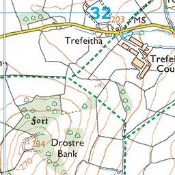
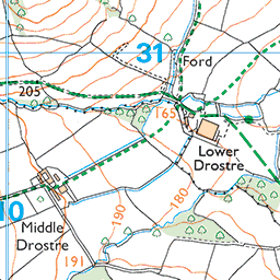
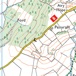
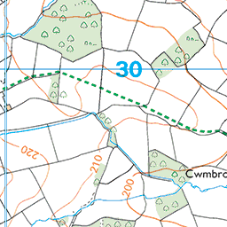
Ordnance Survey Summit Map for Drostre Bank


Drostre Bank Summit Stats
Height in Metres: 284 metres
Height in Feet: 932 feet
Range: Mynydd Epynt - Llandovery to Talgarth
Prominence: 59 metres
Parent Summit: Mynydd Epynt [Mynydd Eppynt]
Grid Reference: SO101313
Col Height: 225
Col Grid Reference: SO099321
Summit Classification: 2
National Park, County or Country: Highest Mountains and Hills in Wales, Mynydd Epynt - Llandovery to Talgarth, Powys
Recommended Maps: Landranger Map 161 Explorer Map OL12E Explorer Map OL13N Explorer Map OL13N
Data with Acknowledgement – Database of British and Irish Hills
What’s Near Drostre Bank?
Nearby Mountain Summits:
- Yr Allt - 1.6km
- Allt Filo - 1.8km
- Pen Coed Mawr - 1.8km
- Pen Tredomen - 2.7km
- Pentwyn - 2.8km
- Twyn Llechfaen - 2.9km
- Oaklands Hill - 3.6km
- Pen-y-commin - 4.5km
Places, Walks and Articles:
- Pen y Fan – Brecon Beacons and Taff Trail Walk from Brecon - 6.2km
- On the Taff Trail from Talybont on Usk to Brecon - 6.3km
- Pen y Fan and Brecon Beacons via the Cwm Llwch horseshoe walk - 7.5km
- Walk up Waun Fach via Y Grib - 7.5km
- All the Walking Routes up Pen y Fan - 13.2km
- Best Hill Walks in Brecon Beacons National Park - 14.3km
- Fan y Big Waterfalls and Ridges Walk - 14.6km
- Brecon Beacons Dark Sky Preserve - 15.0km
Businesses Near Drostre Bank
- Your Brecon Beacons Business Here for free - 16.5km
- Victoria Wells Forest Log Cabins - 27.7km
- Sugar & Loaf - 50.9km
- Tŷ Te Cadair Tea Room - 88.2km
Find more on our Business Directory and add your business FREE here.

You must be logged in to post a comment.