Lledwyn Mawr
Summit Details
About Lledwyn Mawr
Lledwyn Mawr is a summit in the Berwyn region or range in Wales, United Kingdom of Great Britain. Lledwyn Mawr is 526 metres high. All the walking routes up Lledwyn Mawr on Mud and Routes can be found below. The top can be identified by the no feature: grass. Other Notes: ground about 100m NE and 100m SW was about 1m lower. Lledwyn Mawr is a child summit of Esgeiriau Gwynion [Foel Rhudd].
Walks up Lledwyn Mawr
No items found
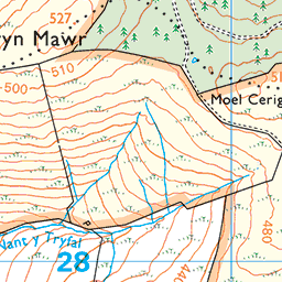
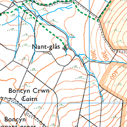
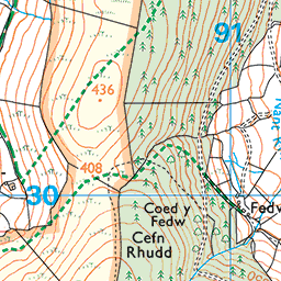
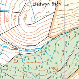
Ordnance Survey Summit Map for Lledwyn Mawr


Lledwyn Mawr Summit Stats
Height in Metres: 526 metres
Height in Feet: 1726 feet
Range: Berwyn
Prominence: 30.9 metres
Parent Summit: Esgeiriau Gwynion [Foel Rhudd]
Grid Reference: SH 90502 28747
Col Height: 495.1
Col Grid Reference: SH 90897 28658
Summit Classification: Dewey Hill List
National Park, County or Country: Berwyn, Highest Mountains and Hills in Wales, Highest Mountains in UK / Great Britain
Recommended Maps: Landranger Map 125 Explorer Map OL23E
Data with Acknowledgement – Database of British and Irish Hills
What’s Near Lledwyn Mawr?
Nearby Mountain Summits:
- Foel Figenau - 1.2km
- Moel Maes-y-llech - 1.6km
- Foel Cae’r-hafotty - 2.2km
- Cefn Coch (Berwyn) - 2.8km
- Garth Fawr - 2.9km
- Foel Tyn-y-fron (Moel y Pawl) (Cefn Coch) - 3.3km
- Foel y Geifr (Hirnant) - 3.4km
- Trum y Gwragedd (Trum y Gwrgedd) - 3.6km
Places, Walks and Articles:
- Walk up Aran Fawddwy and Aran Benllyn from Llanuwchllyn - 2.7km
- Heather Bashing in the Hirnant Hills - 6.5km
- Llyn Tegid Circular Walk South - 6.9km
- A View of Llyn Tegid - 6.9km
- Llyn Tegid Circular Walk North - 7.2km
- Arenig Bothy - 11.6km
- Arenig Fawr via Simdde Ddu Catwalk - 12.8km
- Arenig Fawr and Moel Llyfnant Circular Walk - 13.8km
Businesses Near Lledwyn Mawr
- Ty Beic Holiday Cottages - 12.5km
- Rivercatcher Luxury Holiday Cottages & Cabins - 13.8km
- Mostyn Cottage - 17.1km
- Snowdonia Cabin - 19.1km
- Tŷ Te Cadair Tea Room - 24.3km
Find more on our Business Directory and add your business FREE here.
